Hello, comrades!
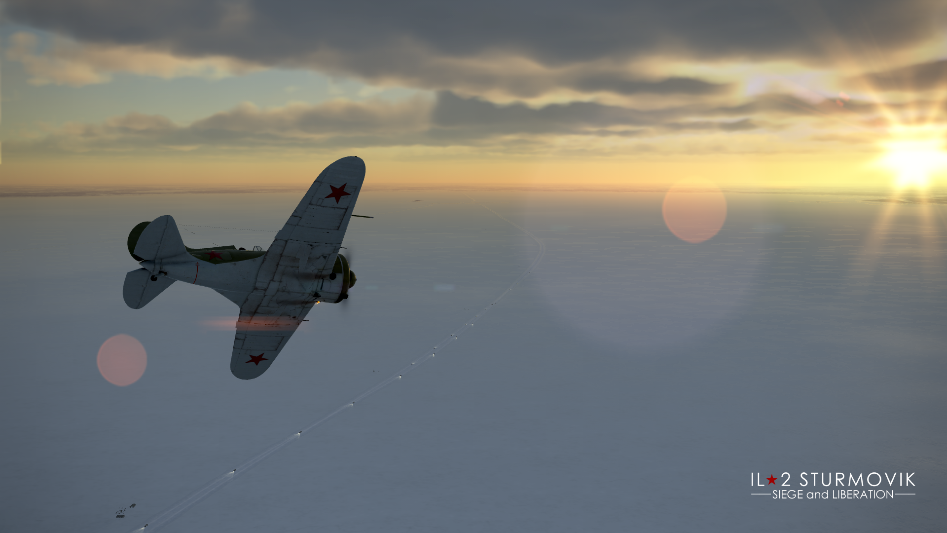
On Victory Day, we would like to highlight an important topic that we are currently exploring as part of the project “Odessa and Leningrad - Siege and Liberation.” On the Gulf of Finland map, we are currently refining the section where the famous Road of Life was located - a temporary transport route that played a key role in supplying the city besieged by invaders.
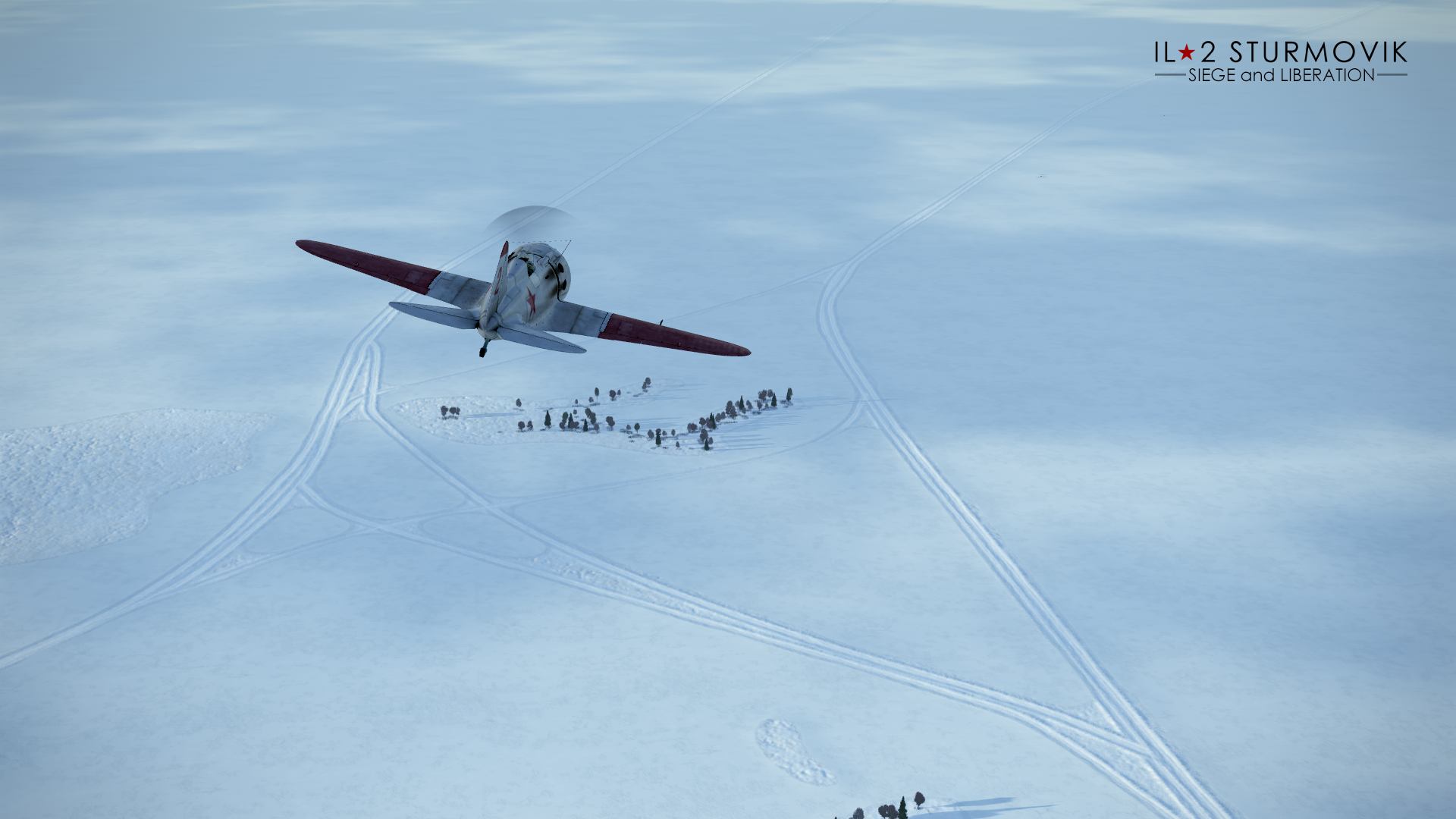
Had it not been for this vital artery, the city would not have been able to withstand the terrible trials that befell it. This route was extremely vulnerable - its nearest branches ran across Lake Ladoga less than 10 kilometers from the enemy-occupied shore - but thanks to the efforts of many thousands of Soviet people, it functioned tirelessly and saved Leningrad from a complete collapse of its supply lines.
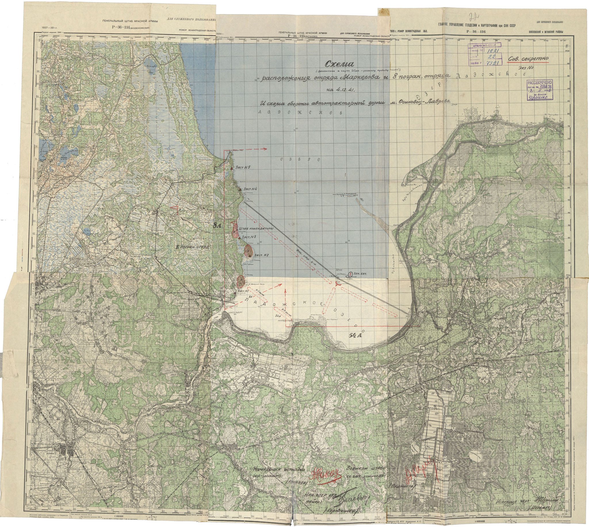
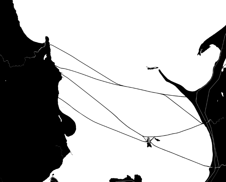
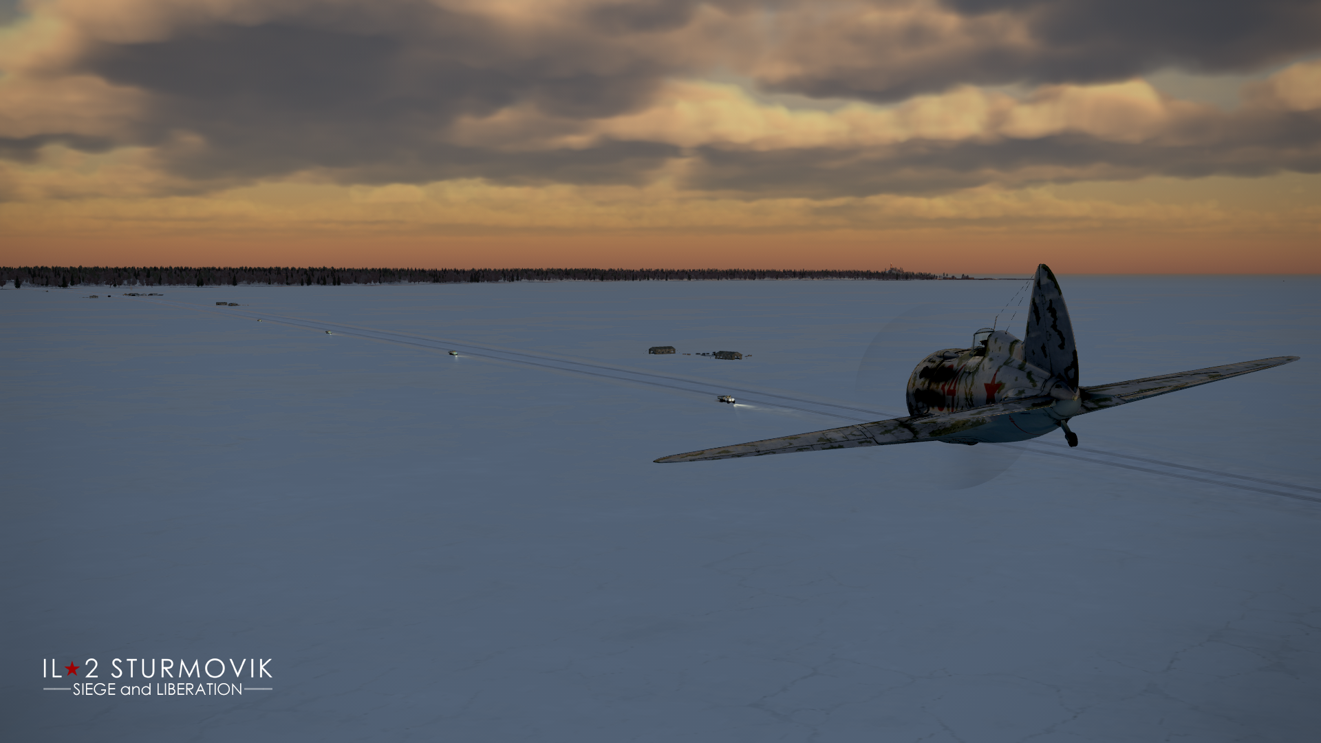
In our work, we recreate both the ice road itself and its branches that were in use in late 1941 and early 1942, as well as the main points on the lake’s shore where it began (Lavrovo, Kobona, Lednevo) and where it reached the Leningrad side (Osinovets Lighthouse).


 and Port")
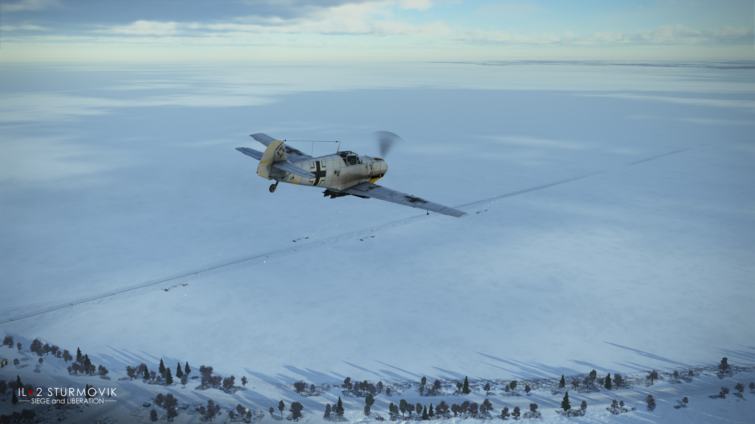
In the very beginning, in the fall of 1941, the road began operating as a lake route using various watercraft available on Lake Ladoga - this will also be included in our project. And speaking of the Liberation section in 1944, there you will see a temporary railway line built in record time after the breakthrough of the enemy-held Sinyavino salient, including the famous bridge at the source of the Neva River in Shlisselburg. This road was already called the Road of Victory, marking the transition from the most difficult defensive phase of the battles in the Leningrad sector to the offensive liberation operation.
In addition to the well-known Great Road of Life, the Small Road of Life was also in operation near Leningrad - this was also an ice route, but located on the other side of the city on the ice of the Gulf of Finland. It connected the northern side of the Gulf of Finland with the southern side, passing through Kronstadt and supplying the Oranienbaum bridgehead. While Leningrad was cut off from the mainland and supplied via Lake Ladoga, Oranienbaum was located even further west and was already cut off from Leningrad. This western bridgehead made it significantly more difficult for the German and Finnish forces to blockade the city and was critically important to its defense. The bridgehead was held throughout the war until January 1944, when Operation January Thunder began, after which the enemy was permanently driven back from the city.
Work is also underway to further refine the details of Leningrad itself. For example, Marsovo Pole has been given a new, much more authentic look. The already unprecedentedly large list of unique, specially modeled buildings will grow even further - for instance, here is the completed model of Mikhailovsky Castle.

The flight zone of the Gulf of Finland map will expand from 270 x 230 km to 310 x 280 km: the already vast number of settlements will grow by another 600, including those in Estonia. Among them is the city of Kingisepp.

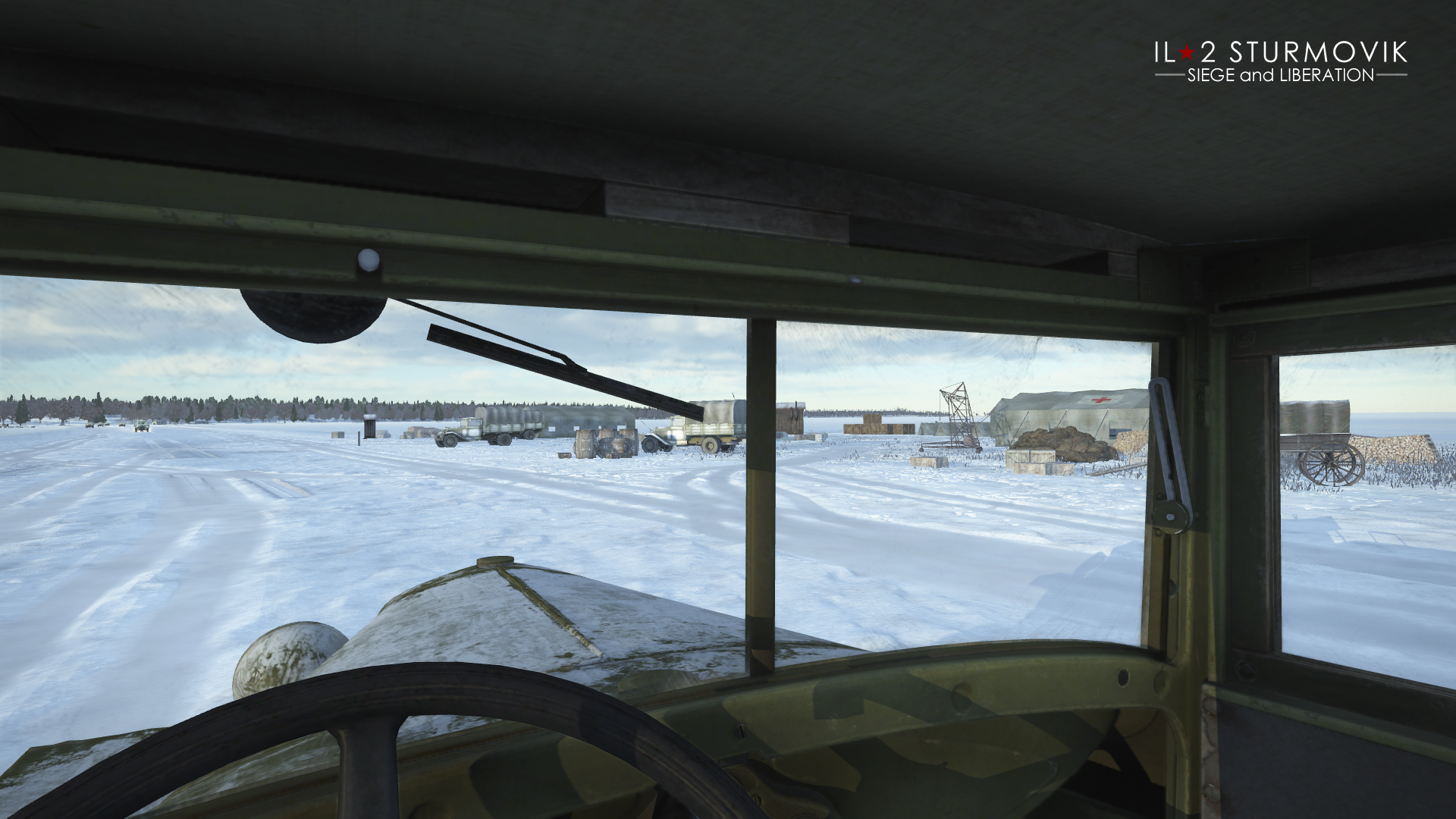
Ten new airfields will appear on the map. The list of recreated important lighthouses is also gradually expanding - for example, the Tolbukhin Lighthouse, located west of Kronstadt.

Work on the Leningrad map continues, as does the expansion of the career mode in Odessa and Leningrad in 1941 and 1944. Stay tuned for updates - we’ll keep you informed about the progress of this work and highlight the most important details.
We congratulate you on Victory Day and wish you peace and happiness!